
Stock Code: FMGPSMSDNZ
Original price
$130.00
-
Original price
$130.00
Original price
$130.00
Excl. GST
$130.00
Excl. GST
Current price
$130.00
Excl. GST
AVAILABILITY: This item is usually dispatched same day
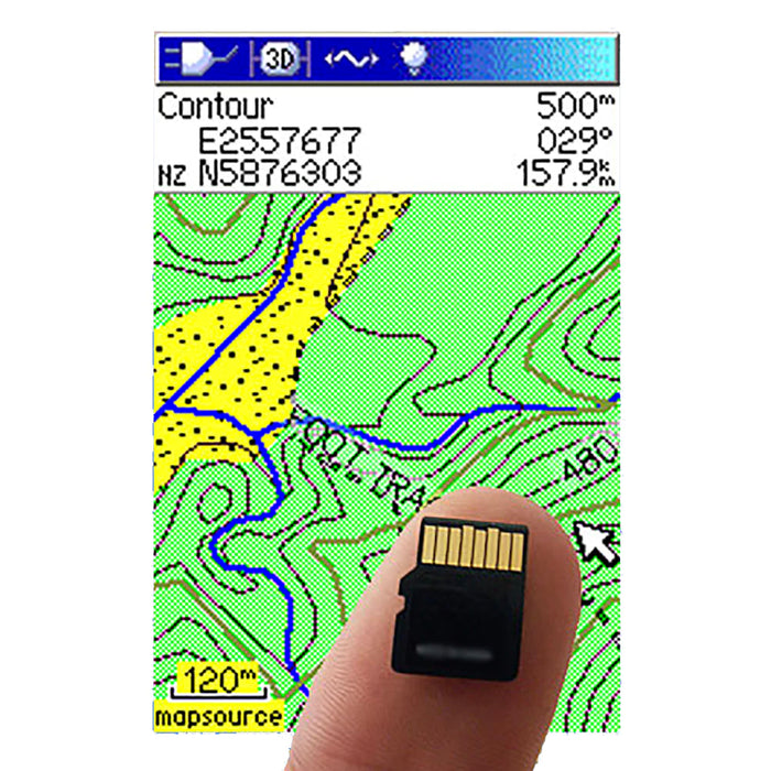
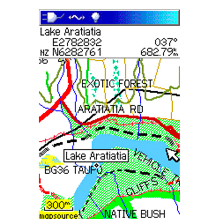
All of New Zealand. Features included are contours, waterways - rivers and water races, roads and tracks, cities and towns, points of interest. Total size 600Mb, but divided into tiles for simplified loading of your selection of data. Maps are colour and have searchable database of road and place names put the map where you want it instantly. Note some data shown on paper maps is not included, e.g. tramping huts, fence lines, water tanks and trig stations.
FEATURES:
- Stewart Island included
- 1:50,000 detail
- Designed for: SAR Search and rescue groups, tramping clubs, park and forestry administrators. Commercial outdoor recreation - guides, hunters educators. Any outdoor adventures -tramping, hunting, climbing etc. Coastal, lake, and river kayaking/boating.
- Fast Auto scrolling topographic mapping for New Zealand
- Searchable database of road and place names put the map where you want it instantly.
- Simplicity with a plug in & go Micro SD card.
- Spare capacity on all cards for extra waypoints & track storage.
- All public roads named and marked ideal for 4X4
- Will Suit most colour screen Garmin Handheld GPS Models with SD card slot
- In addition to contour lines and all the other features you would expect to find on a topographical map on a GPS, Freshmap for Garmin GPS mapping also provides the following: cliff edges, slips, cuttings, scree, gravel, sand, mud, mangroves, coastal rocks, rock point features, moraine, moraine walls, fences, shelter belts, individual trees
- Altitudes are properly integrated with mountain names. There is better track and vehicle track visibility with properly named rivers and streams rather than just spot names.


