AVAILABILITY: This item is usually dispatched same day.
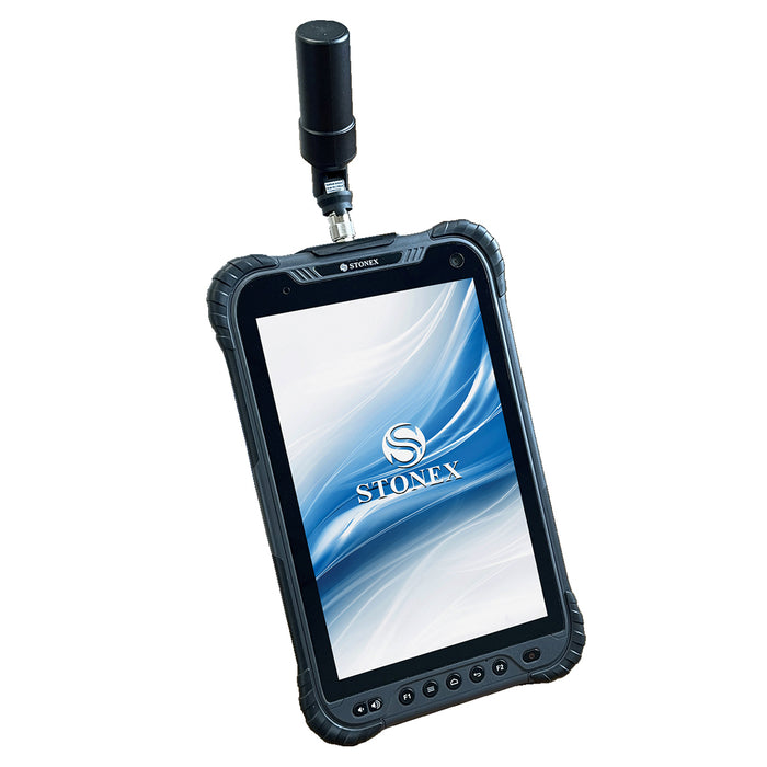
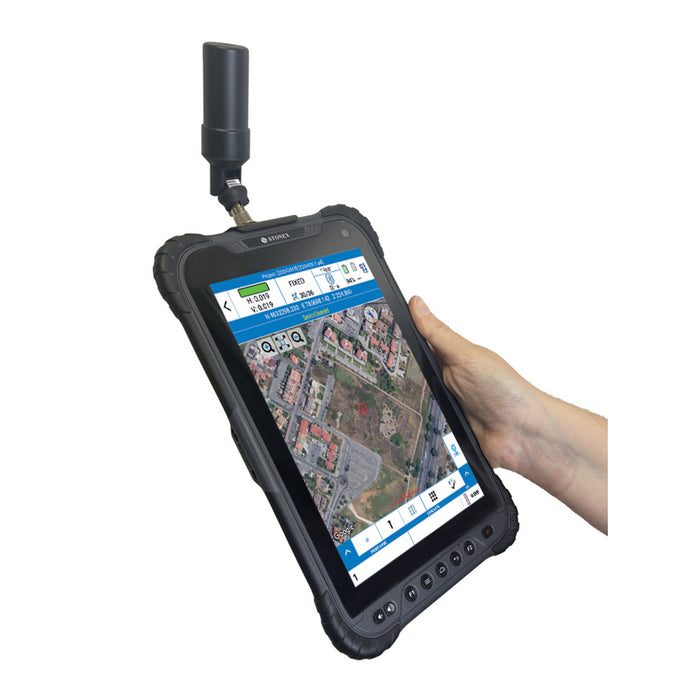
The S80G is a GNSS system that offers a range of features and capabilities for efficient data and photo collection in the field. It is a multi-constellation system, meaning it can utilize signals from multiple satellite networks, including GPS, GLONASS, Galileo, and BeiDou. Furthermore, the S80G is a triple-frequency GNSS system, which means it can receive and process signals from L1, L2, and L3/L5 frequency bands.
This triple-frequency capability enhances the system’s precision and robustness, particularly in areas with potential signal interference or obstructions. The GNSS board of the S80G is equipped with 1408 channels, allowing it to track multiple satellites simultaneously. The S80G offers RTK (Real-Time Kinematic) and raw data recording capabilities, enabling users to capture high-resolution data and imagery.
The S80G system comes with an antenna that is directly connected to the tablet, providing an RTK precision of 2 cm. However, the system also supports the use of an external antenna SA85, which can further enhance the precision of the collected data, allowing users to achieve even greater accuracy in their field work, approximately < 1 cm. The S80G can operate in real-time mode, utilizing RTK corrections transmitted by a network of GNSS Permanent Stations.
The S80G, through the SR02 external radio, can also work in RTK by receiving corrections from a GNSS base receiver via the UHF radio. Additionally, the S80G can record raw data received from satellites, allowing for post-processing in the office.
INCLUDES:
S80G tablet
GNSS Antenna
Hand Strap
Charger
Soft Bag
Battery
Screen protector NOTE: This can be tailored to your needs.
FEATURES:
Android system on board
Multi constellation system ( GPS, GLONASS, BEIDOU, GALILEO, QZSS & IRNSS)